facebook.com | Oct 9, 2026 2:19 AM
10:12 p.m. THU - 10/8/26
🚨 VIRGINIA & CAROLINAS: SUNDAY IS THE MAIN DAY TO WATCH! 🚨
A massive weather battle is shaping up right over us, and it’s going to look very different from what you might expect.
Here is what you need to know about the upcoming storm:
🥶 The Saturday Setup:
This system is going to start out feeling more like winter. Very cool, dry air is currently settling into a pronounced wedge over Virginia, setting the stage for a chilly, heavy rain Saturday into early Sunday.
🚀 The Sunday Surge:
The real drama happens Sunday afternoon.
Unbelievably humid, tropical air from Isaias is going to launch northward through the Carolinas and slam straight into that cool air wedge.
🌪️ The Danger Zone:
Where that warm, muggy air collides with the cool wedge is where things get volatile. We are favoring twisting storms, intense winds, rotation, and potential tornadoes along the front Sunday afternoon and evening. The exact position of this boundary will make all the difference.
🎯 The Plot Twist:
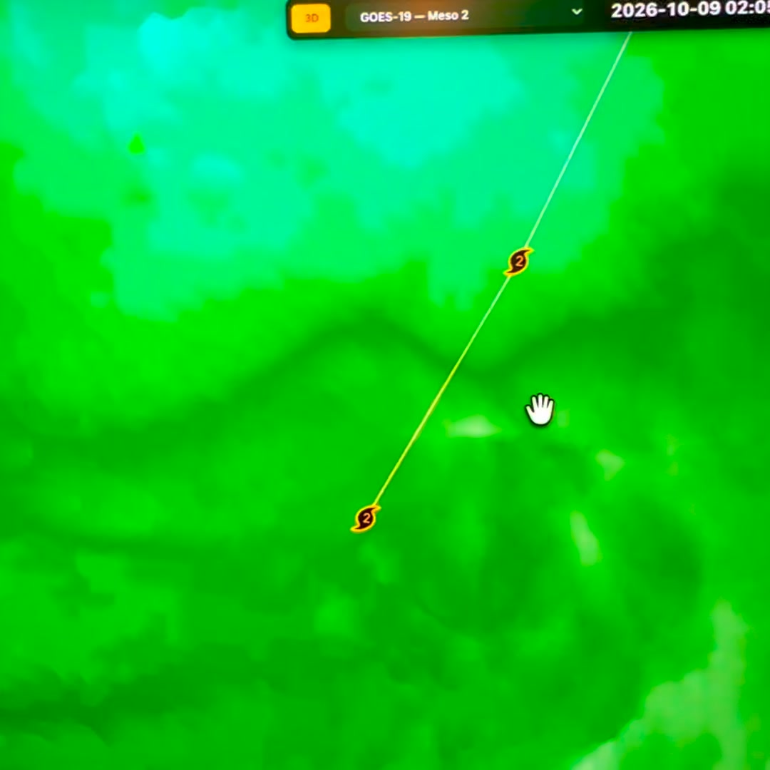
If you are only looking at the official tracking map, you are looking in the wrong place. The main impacts for Virginia are expected to be nowhere close to the eventual NHC track!
👇 Get the full breakdown, exact boundary maps, and the specific impact zones over on Patreon:
🔗
https://www.patreon.com/jameysingleton/posts/171841627
#VAwx #VirginiaWeather #Isaias #StormWatch #SevereWeather
Original Facebook source: Open post
Video link: Watch on Facebook
Source note: Star News TV · Oct 9, 2026 2:19 AM.