

GetStarNews GetStarNews
Sign In
Live
Martinsville Desk

Distillery

A nor'easter is taking shape along the same powerful cold front that brought a big temperature drop to the Carolinas this weekend, and it may bring several days of high surf, be...

WeatherCategory
PUBLICVisibility
facebook_postSource type
PublishedStory status

A nor'easter is taking shape along the same powerful cold front that brought a big temperature drop to the...

facebook.com | Oct 19, 2026 10:10 PM

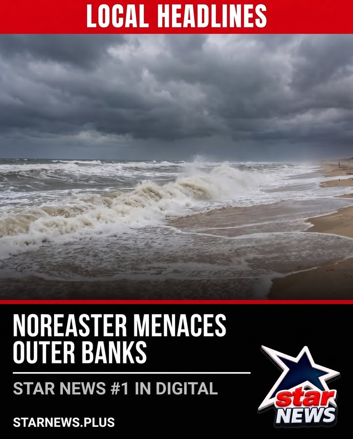
A nor'easter is taking shape along the same powerful cold front that brought a big temperature drop to the Carolinas this weekend, and it may bring several days of high surf, beach erosion and coastal flooding to the North Carolina Outer Banks.

A low-pressure area is expected to strengthen in the Atlantic through Monday, and the WXII 12 First Warning Weather team is tracking Atlantic activity for potential subtropical storm development within the next seven days. National Hurricane Center meteorologists are also monitoring the coastal low's position; if the storm lingers over the warm Gulf Stream waters, it will have a better chance of becoming subtropical, with the next named storm being Josephine. Coastal flooding in the Outer Banks, with water inundation above ground level, is forecast to reach 1 to 3 feet this week.

Residents in Hatteras and Ocracoke Islands have been urged to leave their homes, and Dare County has ordered a mandatory evacuation for visitors on Hatteras Island. There is a risk of flooding in those regions where N.C. Highway 12 will become impassable, leaving anyone on the island without a way off, even during an emergency. NCDOT crews report that N.C. Highway 12 remains open after moving more sand to reinforce the dunes at Pea Island and the Canal Zone, and 10- to 20-foot waves will create dangerous marine conditions and cause beach erosion along the Outer Banks.

Original Facebook source: Open post

Source note: Star News TV · Oct 19, 2026 10:10 PM.

Source Record

Source facebook.com
Star News TV
A nor'easter is taking shape along the same powerful cold front that brought a big temperature drop to the Carolinas this weekend, and it may bring several days of high surf, beach erosion and coastal flooding to the North Carolina Outer Banks. A low-pressure area is expected to strengthen in the Atlantic through Monday, and the WXII 12 First Warning Weather team is tracking Atlantic activity for potential subtropical storm development within the next seven days. National Hurricane Center meteorologists are also monitoring the coastal low's position; if the storm lingers over the warm Gulf Stream waters, it will have a better chance of becoming subtropical, with the next named storm being Josephine. Coastal flooding in the Outer Banks, with water inundation above ground level, is forecast to reach 1 to 3 feet this week. Residents in Hatteras and Ocracoke Islands have been urged to leave their homes, and Dare County has ordered a mandatory evacuation for visitors on Hatteras Island. There is a risk of flooding in those regions where N.C. Highway 12 will become impassable, leaving anyone on the island without a way off, even during an emergency. NCDOT crews report that N.C. Highway 12 remains open after moving more sand to reinforce the dunes at Pea Island and the Canal Zone, and 10- to 20-foot waves will create dangerous marine conditions and cause beach erosion along the Outer Banks.
Source ref: 294815822133_1636805591795116
Martinsville MartinsvilleLocalDesk CentralDesk Facebook Starnewstv

Discussion

No comments yet. The first comment here will also become the first public forum reply for this knowledge entry.
Sign up or log in to comment and open the public thread.