

Source
facebook.com
Star News TV
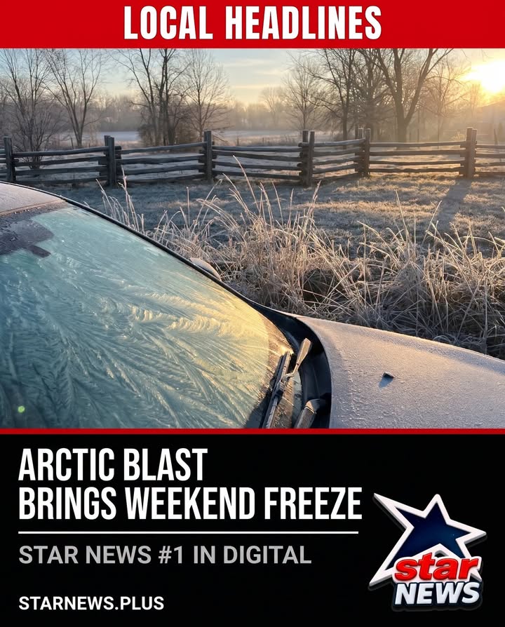
After a stretch of seasonably warm afternoons, a blast of colder Canadian air is forecast to push temperatures down across the region this weekend. Forecasters say a sudden stratospheric warming event has caused at least a temporary collapse of the polar vortex, letting Arctic air spill south into the Carolinas.
In the Piedmont and foothills, scattered light rain is possible Thursday with damp roads, then windy and colder weather Friday and Saturday. Temperatures may run 10 to 15 degrees below normal, with lows in the low 30s and highs in the low 50s Saturday and Sunday. Freezing temperatures are likely by Sunday morning, Nov. 15.
Along the Blue Ridge, the season's first snow is possible from Thursday through Saturday, with totals ranging from a dusting to a few inches on west-facing slopes. Mountain residents could see reduced visibility from blowing snow and wintry mix, slick roads, wind chills in the teens and single digits, and sporadic power outages from strong gusts.
Source ref: 294815822133_1664724715669870