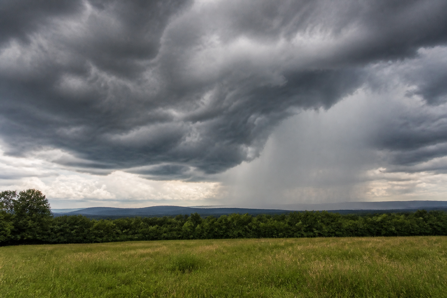
The National Weather Service in Blacksburg says Henry County and Martinsville remain in a severe-storm risk area for Sunday, Aug. 16, 2026, and again on Monday, Aug. 17.
In its 4:24 a.m. Hazardous Weather Outlook Sunday, NWS said severe storms will be possible today. Damaging winds are the main hazard. The outlook also notes that a tornado or two is possible for areas north of U.S. 460, while heavy rain could lead to flash flooding today, with the greatest flash-flood threat across portions of southeast West Virginia.
For Monday, NWS says severe storms will be possible again, with damaging winds as the main hazard and heavy rain capable of causing localized flash flooding. Spotter activation may be needed.
- Timing to watch: Sunday and Monday, especially if storms build during the afternoon or evening.
- Main local concern: Damaging wind gusts and heavy rain that can create fast-changing road and drainage conditions.
- Reader action: Secure loose outdoor items, avoid flooded roads, keep phones charged and monitor later NWS watches or warnings.
This is an official planning-level public-safety outlook, not a confirmed local damage report. Readers should follow any later warnings from NWS Blacksburg and any local emergency-management or road-condition notices.
Source: Reporting based on the National Weather Service Blacksburg Hazardous Weather Outlook issued at 4:24 a.m. EDT Sunday, Aug. 16, 2026, checked Aug. 16, 2026. Original editorial SVG; it does not depict a specific storm-damage scene.
Community
Discussion
No comments yet. Be the first to respond to this report.