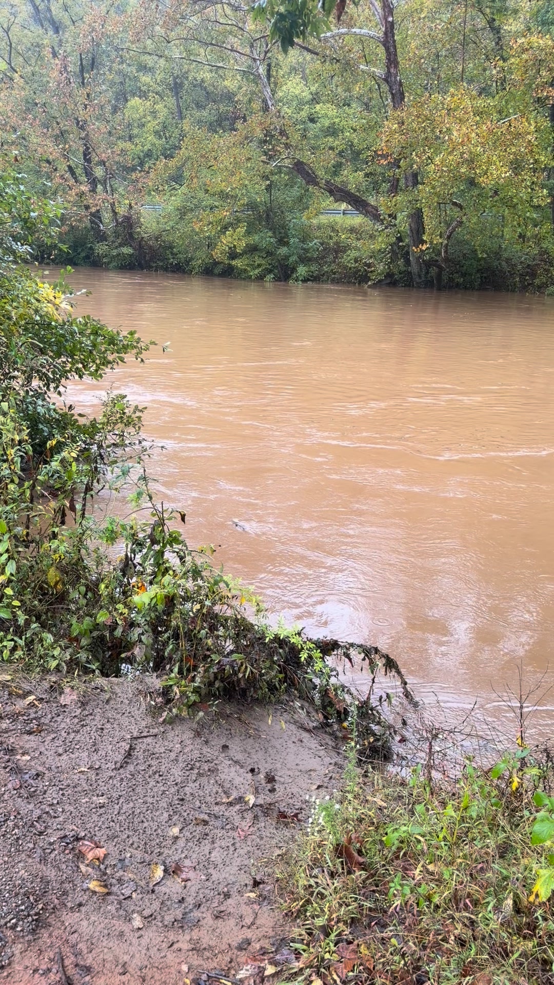
Weather alert: The National Weather Service in Blacksburg issued or continued flood advisories Sunday afternoon for parts of northwestern North Carolina and southwestern Virginia as runoff kept streams high and water covered some low-lying roads.
A Flood Advisory issued at 2:47 p.m. EDT Sunday, Oct. 11, 2026, covers central Surry County until 6:45 p.m. The Weather Service said minor flooding was already occurring after 2.5 to 3 inches of rain. The advisory includes Fairview, Dobson, Bottom, Crutchfield, Low Gap and Rockford, along with areas near the Fisher River, Chestnut Creek, Beaver Creek, Davenport Creek, Beaverdam Creek, Cooks Creek and Cody Creek.
Another advisory, issued at 1:25 p.m., covers eastern Carroll County and south-central Pulaski County until 6:15 p.m. Minor flooding was reported along Big Reed Island Creek after 3 to 4 inches of rain fell from Saturday through Sunday morning. Some low-water crossings may be impassable. Allisonia and Laurel Fork are among the locations named in the advisory.
An updated advisory issued at 2:52 p.m. remains in effect for Ashe and Watauga counties until 5 p.m. The Weather Service said 4 to 7 inches of rain had fallen and water remained over some roads, including Todd Railroad Grade Road along the South Fork New River. Jefferson, West Jefferson, Beech Mountain, Lansing, Ashland, Glendale Springs and Sugar Grove are among the listed communities.
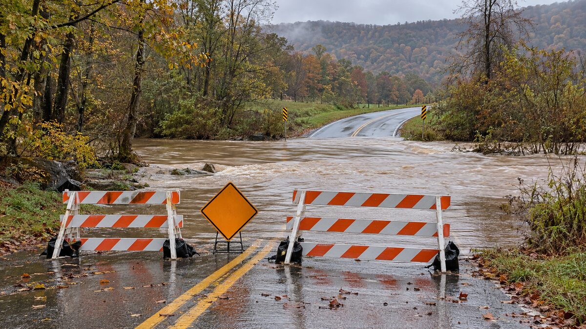
Drivers should not enter flooded roads or go around barricades. Turn around and use another route. Flood depth and pavement condition can be difficult to judge, especially at low-water crossings.
Official sources: National Weather Service advisories for Surry County, Carroll and Pulaski counties, and Ashe and Watauga counties.
The accompanying image is representative editorial artwork and does not depict a specific flooded road.
Community
Discussion
No comments yet. Be the first to respond to this report.