Henry County investigators say suspected drug distribution led them to a Martinsville residence
MARTINSVILLE, Va. — Thursday evening apparently wasn't a great time to be hanging around a suspected drug house — especially when the Henry County Sheriff's Office SWAT Team comes knocking.
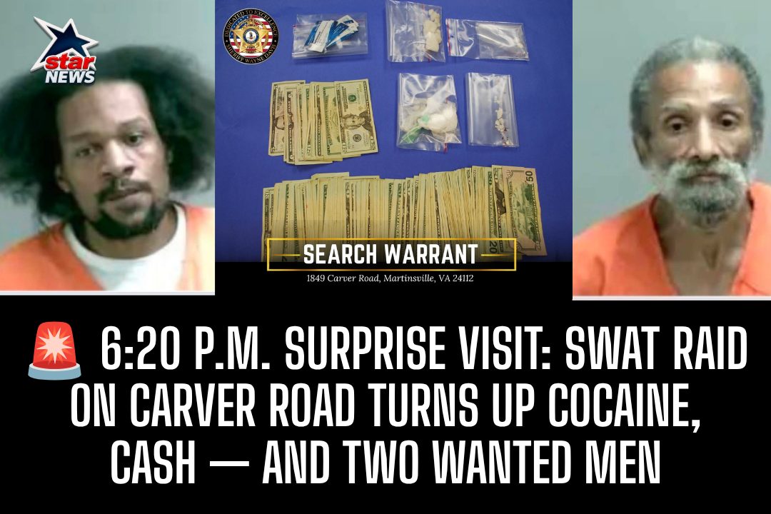
At approximately 6:20 p.m. Thursday, Sept. 3, deputies executed a narcotics-related search warrant at a residence in the 1800 block of Carver Road in Martinsville.
According to the Henry County Sheriff's Office, the investigation began after both the Sheriff's Office and Martinsville Police Department received information about suspected drug activity in the area.
Investigators with the Sheriff's Office VICE Division and Narcotics Interdiction Unit went to work looking into those reports.
As the investigation progressed, authorities said they developed evidence indicating that narcotics were being distributed from the residence.
That led investigators to obtain a search warrant.
When SWAT officers and investigators arrived, multiple people were detained while the residence was searched.
And apparently, investigators didn't leave empty-handed.
Authorities seized a quantity of suspected cocaine and U.S. currency.
Two men were also arrested — although, technically, police were already looking for them.
TWO WANTED MEN, ONE SWAT RAID
Keith Allen Brim, 41, was arrested on outstanding warrants from the City of Martinsville for:
Two counts of probation violation Contempt of court
Also arrested was Eugene Hairston Jr., 63, who was wanted by Martinsville authorities on three counts of probation violation.
So while investigators were searching for evidence of suspected drug distribution, they apparently found something else they didn't have to look very hard for:
Two people who were already wanted.
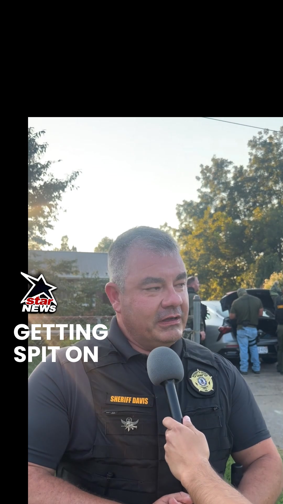
Sheriff Wayne Davis said the department will continue working with its law enforcement partners to target illegal drug distribution.
“Those who choose to distribute illegal drugs in our communities should understand that we will continue working with our law enforcement partners to identify them and hold them accountable.”
The Sheriff’s Office said the investigation remains active and ongoing, and additional charges could be filed as investigators continue examining the evidence seized during the search.
The Sheriff's Office also thanked the Martinsville Police Department for its assistance and partnership, as well as residents who continue reporting suspected criminal activity.
Because apparently, sometimes the tip from a neighbor is what gets the investigation started — and sometimes the next thing the neighborhood sees is a SWAT team at the front door.
Carver Road got a visit Thursday night. Investigators say they left with cocaine, cash and two wanted men — and they're not necessarily finished yet.
Original Facebook source: Open post
Source note: Star News TV · Sep 4, 2026 8:41 PM.
Community
Discussion
No comments yet. Be the first to respond to this report.